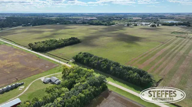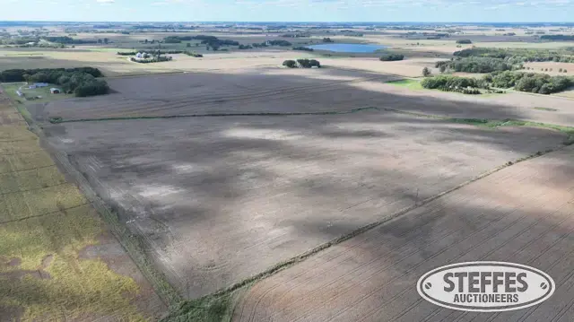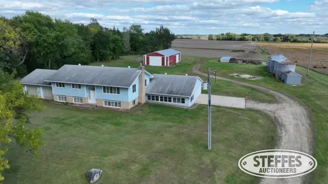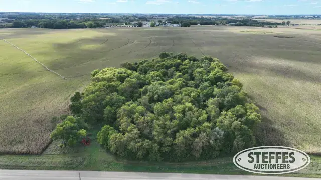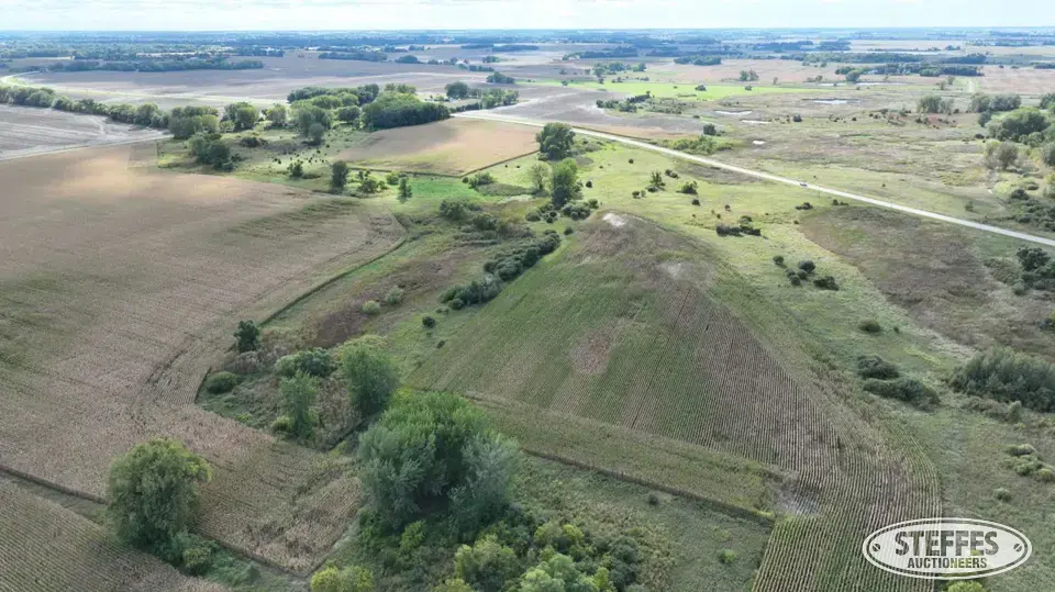
Cropland Acres: 76.18±
PID #: 09-0322000 (That part of, new legal & PID# to be assigned)
Crop Productivity Index: 82.7
Soils: Spicer silty clay loam, 0 to 2 percent slopes (64.1%), Litchfield loamy fine sand, 0 to 2 percent slopes (21.4%), FieldonDassel, depressional complex, 0 to 2 percent slopes (7.0%), Dickman sandy loam, 0 to 2 percent slopes (2.9%), Kingston silty clay loam, 1 to 3 percent slopes (2.1%), Klossner and Lundlake soils, 0 to 1 percent slopes, ponded (1.0%), Truman silt loam, 2 to 6 percent slopes (1.0%), Litchfield sandy loam, 0 to 2 percent slopes (0.3%), Sparta loamy sand, 1 to 6 percent slopes (0.2%)
Description: The Northeast Quarter (NE1/4) of Section 31, Township 120 North, Range 30 West, Meeker County, Minnesota. EXCEPT That part of the Northeast Quarter (NE1/4) of Section 31, Township 120 North, Range 30 West described as follows: Commencing at the Southeast (SE) corner of said Northeast Quarter (NE1/4), then on an assumed bearing of South 89%%d 55’ 6" West along the South line of said Northeast Quarter (NE1/4) a distance of 2259.75 feet to the point of beginning of the tract therein described, thence on a bearing of North 14%%d 58’ 58" East a distance of 400 feet, thence South 89%%d 55’ 6" West a distance of 100 feet, thence North on a line parallel to the West line of Section 31 a distance of 260 feet, thence on a bearing of South 89%%d 55’ 6" West a distance of 337 feet to the East right-of-way line of State Trunk Highway 24 as now located, thence in a generally southerly direction along said East right-of-way line of State Trunk Highway 24 a distance of 660 feet more or less to the South line of Section 31, thence North 89%%d 55’ 6" East a distance of 352 feet more or less to point of beginning. ALSO EXCEPT That part of the Northeast Quarter (NE1/4) of Section 31, Township 120 North, Range 30 West, Meeker County, Minnesota, described as follows: Commencing at the Southeast corner of said NE1/4; thence on an assumed bearing of South 89 degrees 55 minutes 06 seconds West along the south line of said NE1/4, 2259.75 feet; thence North 14 degrees 58 minutes 58 seconds East, 400.00 feet to the point of beginning of the tract of land herein described; thence South 89 degrees 55 minutes 06 seconds West, 100.00 feet; thence North on a line parallel to the west line of said Section 31, 260.00 feet; thence South 84 degrees 15 minutes 33 seconds East, 166.52 feet; thence South 14 degrees 58 minutes 58 seconds West, 251.76 feet to the point of beginning and there terminating.
Taxes (2026): $2,780.00
Sellers to reserve all hunting rights
2026 Crop Season - Corn
US Fish & Wildlife Easement
TERMS: Ten percent down upon signing purchase agreement, payable by cash or check. Balance due at closing within 30 days. This is a 5% buyer’s fee auction.