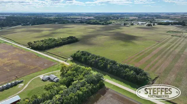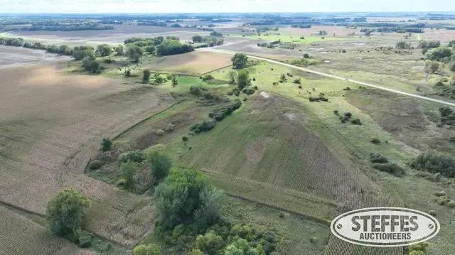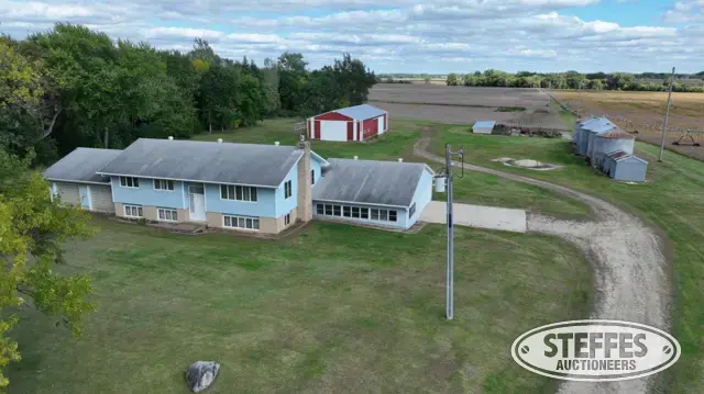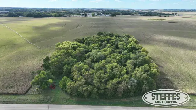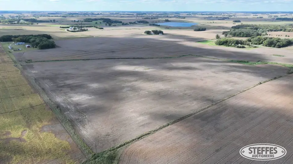
Cropland Acres: 70.72±
PID #: 14-0001000 (That part of, new legal & PID# to be assigned)
Crop Productivity Index: 78.9
Soils: Uniongrove loam, 0 to 2 percent slopes (29.4%), WadenillSunburg complex, 2 to 6 percent slopes (11.4%), Dickman sandy loam, 0 to 2 percent slopes (10.1%), Gardencity very fine sandy loam, 2 to 6 percent slopes (9.3%), Wadena loam, 0 to 2 percent slopes (8.3%), KoronisSunburgHawick complex, 2 to 6 percent slopes (7.2%), Spicer silty clay loam, 0 to 2 percent slopes (7.0%), Sparta loamy sand, 1 to 6 percent slopes (6.3%), Klossner muck, 0 to 1 percent slopes (5.3%), Kingston silty clay loam, 1 to 3 percent slopes (1.9%), Wadenill loam, 2 to 6 percent slopes (1.3%), Klossner, Okoboji and Glencoe soils, ponded, 0 to 1 percent slopes (1.3%), MayerBiscay, depressional complex, 0 to 2 percent slopes (1.2%)
Description: The North Half of the Northwest Quarter (N1/2 of the NW1/4) of Section 1, Township 119 North, Range 31 West, Meeker County, Minnesota. EXCEPT That part of the North Half of the Northwest Quarter (N1/2 of the NW1/4) of Section 1, Township 119 North, Range 31 West, Meeker County, Minnesota, described as follows: Commencing at the Northwest corner of said Section 1; thence on an assumed bearing of South 00 degrees 54 minutes 02 seconds West along the west line of said N1/2 of the NW1/4, 809.72 feet to the point of beginning of the tract of land herein described; thence continue South 00 degrees 54 minutes 02 seconds West along last said line, 479.96 feet to the south line of said N1/2 of the NW1/4; thence South 89 degrees 40 minutes 45 seconds East along last said line, 684.02 feet; thence North 02 degrees 04 minutes 55 seconds East, 463.43 feet; thence North 88 degrees 17 minutes 52 seconds West, 693.61 feet to the point of beginning and there terminating.
Taxes (2026): $3,846.00 (For entire land. New tax amount TBD)
2026 Crop Season - Beans
NO US Fish & Wildlife Easement
TERMS: Ten percent down upon signing purchase agreement, payable by cash or check. Balance due at closing within 30 days. This is a 5% buyer’s fee auction.