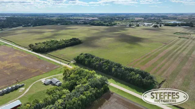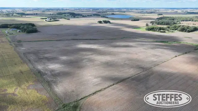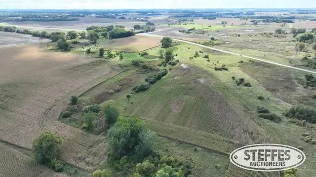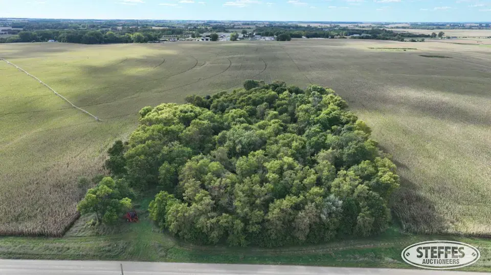
Cropland Acres: Approximately 0.32±
PID #: 14-0024000 (That part of, new legal & PID# to be assigned)
Crop Productivity Index: 80.1
Soils: SunburgWadenill complex, 6 to 12 percent slopes, moderately eroded (71.9%), WadenillSunburg complex, 2 to 6 percent slopes (28.1%)
Description: That part of the Southeast Quarter of the Northeast Quarter (SE1/4 of the NE1/4) of Section 2, Township 119 North, Range 31 West, Meeker County, Minnesota, described as follows: Commencing at the East Quarter corner of said Section 2; thence on an assumed bearing of North 00 degrees 54 minutes 02 seconds East along the east line of said SE1/4 of the NE1/4, 506.74 feet to the point of beginning of the tract of land herein described; thence continue North 00 degrees 54 minutes 02 seconds East along last said line, 342.63 feet; thence North 88 degrees 49 minutes 28 seconds West, 613.38 feet; thence South 02 degrees 20 minutes 09 seconds West, 361.22 feet; thence North 89 degrees 28 minutes 15 seconds East, 622.61 feet to the point of beginning and there terminating.
Taxes (2026): $3,684.00 (For entire land. New tax amount TBD)
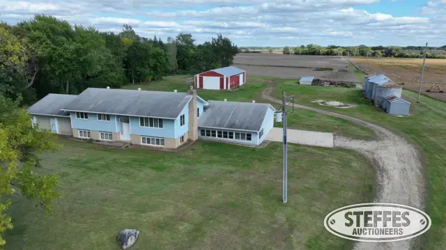
Remnants of old farm site
Easement in favor of the Village of Litchfield
Easement in favor of The Rural Cooperative Power Association
Easement in favor of Meeker Cooperative Light and Power Association
Remnants of old farm site
NO US Fish & Wildlife Easement
TERMS: Ten percent down upon signing purchase agreement, payable by cash or check. Balance due at closing within 30 days. This is a 5% buyer’s fee auction.