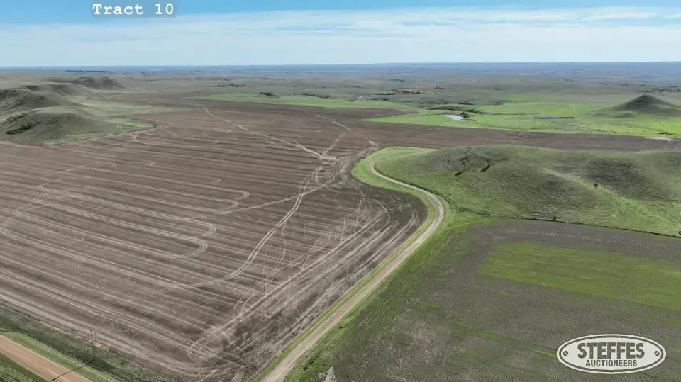
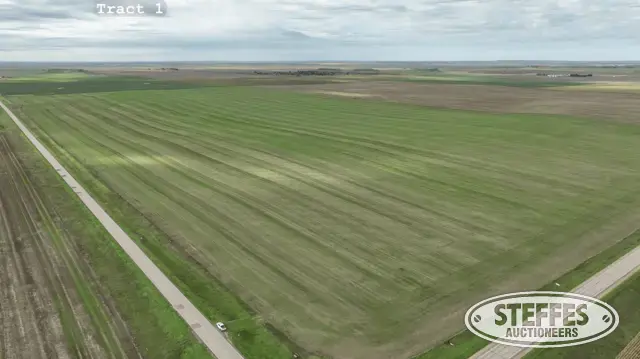
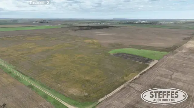
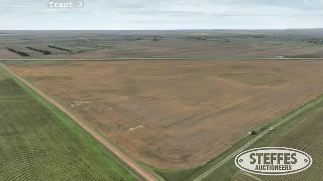
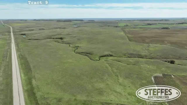
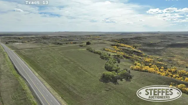
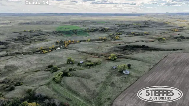
Description: W1/2NW1/4N1/2 Section 27-21-27 & E1/2NE1/4NE1/4NE1/4 Section 28-21-27
Total Acres: 45±
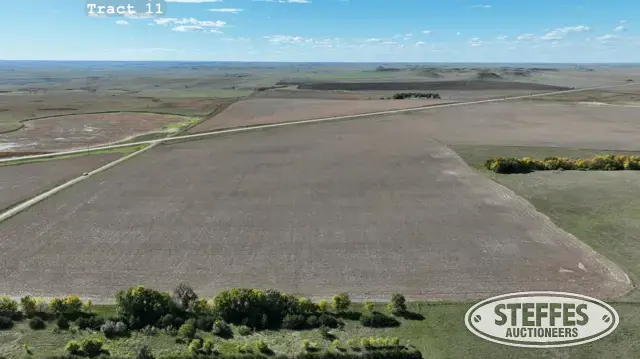
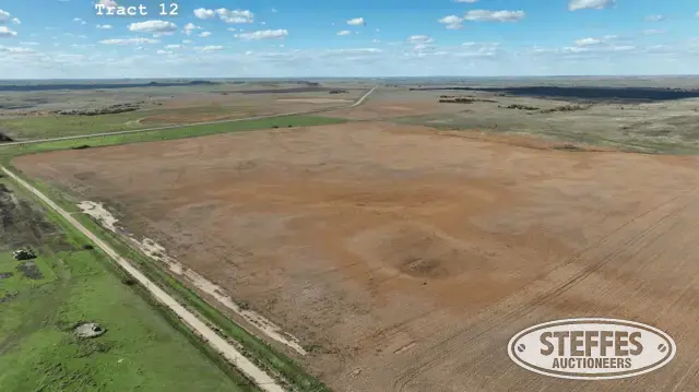
Cropland Acres (Est.): 16+
PID #’s: Part of 021-27-027-001-000-00 & 021-27-028-001-000-01
Address: 11320 267th Ave, McLaughlin, SD 57642
Home Details: 1,561 sq. ft., 5-Bedroom, 2-Bathroom, LP siding, asphalt shingles (updated 2024), hardwood and composite floors, 2-stall garage (doors currently not in use), forced air heat (serviced by propane tank behind home), central air, water from drilled well located behind home, electrical. Written agreement in place for future rural water access.
General Home Details:
Please Note: All personal property excluded unless otherwise stated, to be removed on or before real estate closing date.
Outbuildings:
Swin Finishing Barn: 2,160 sq. ft., used currently for storage, electrical
Morton Building: 3,600 sq. ft., wood frame, steel siding, steel roof, (4) steel sliding doors, dirt floor, cold storage, electrical
Pole Barn: 4,480 sq. ft., wood frame, steel siding, steel roof, missing sliding door, dirt floor, cold storage, electrical
Farm Shop w/Lean To: 1,488 sq. ft., wood frame, sliding door east side, overhead door south side, roll up door lean to, loft, concrete floors, electric, heat (serviced by propane tank near building). Includes underground gas tank & pump (north side), Includes underground diesel tank & pump (south side), air compressor hard wired to service panel to be included. All shelves and contents excluded to be removed on or before real estate closing date.
Steel Quonset: 3,750 sq. ft., steel frame, steel siding, steel sliding door north end, overhead door south end, spray foam interior, concrete floor, electrical, heat.
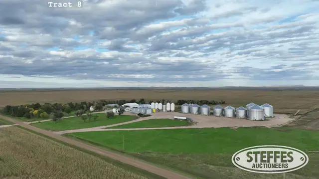
Grain Storage: 303,000 bu. total storage
(5) 4,000 bu. Hopper Bins (3) Amber Waves, fans (1) Stor-King, (1) Friesen, fan, heater (unknown condition), single phase power
(6) 24,000 bu. Sukup steel grain bins, vented roofs, spiral staircase, bin sweep with center pit and loadout auger, z-cut aeration floor, (2) fans per bin., bins 1, 2, 5, 6 include (Agri-Dry Bullseye) automatic fan control, Bins 1 & 6 include propane heaters (serviced by small propane tanks near bins), single phase power
(1) 55,000 bu. Brock steel grain bin, vented roof, exterior staircase, bin sweep with center pit and loadout auger, aeration floor, (4) fans, single phase power
(2) 42,000 bu. Brock steel grain bins, vented roofs, spiral staircase, bin sweep with center pit and loadout auger, aeration floor, (3) fans per bin, single phase power
(2) Behlen grain bins (currently used for storage)
Fuel & Liquid Fertilizer Storage:
(2) vertical diesel tanks included with property.
(2) horizonal diesel tanks included with property.
30,000 gal. stainless steel liquid fertilizer tank, excluded
10,000 gal. yellow poly fertilizer tank, excluded
7,250 gal. yellow poly fertilizer tank, excluded
Black poly fertilizer tank on frame, located on west building site, excluded
All portable water & fertilizer tanks, excluded
General Property Notes:
Fiber Optic serviced by WRT
Serviced by Moreau-Grand Electric Cooperative for Electrical
Serviced by Drilled Well near Home, and Drilled Well on west building site.
Please Note: All personal property pictured to be excluded and removed on or before real estate closing date unless otherwise noted.
Taxes (2025): $8,382.32 (includes tract 6)
TERMS: Ten percent down upon signing purchase agreement with balance due at closing on May 4th, 2027.