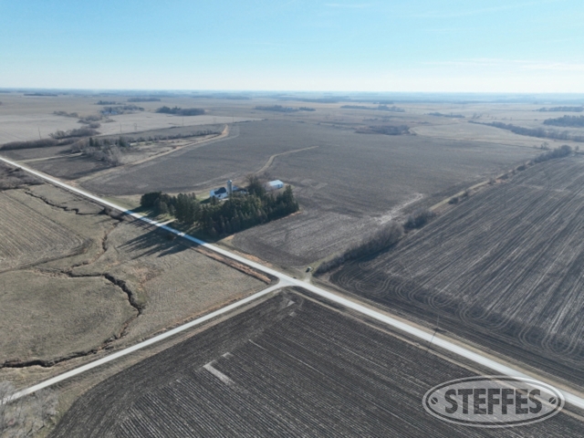
DODGE COUNTY, MN - VERNON TOWNSHIP
Description: THAT PART OF THE NE ¼ OF THE NE ¼ OF SECTION 25, TOWNSHIP 105 NORTH, RANGE 16 WEST, DODGE COUNTY, MINNESOTA, DESCRIBED AS FOLLOWS: COMMENCING AT THE EAST QUARTER, Sect-25 Twp-105 Range-016
Total Acres: 146.13±
Cropland Acres Per FSA: 133.96±
CRP Acres: 1.48± contract through 9-30-2032, Annual payment: $444.00
PID #: 16.025.0100 (That part of, new legal & PID# to be assigned)
Soil Productivity Index: 97
Soils: Marquis silt loam, 2 to 6 percent slopes (73.8%), ClydeFloyd complex, 1 to 4 percent slopes (25.0%), Readlyn silt loam, 1 to 3 percent slopes (0.8%), Coland, frequently floodedSpillville, occasionally flooded complex, 0 to 2 percent slopes (0.4%), Readlyn silt loam, 1 to 3 percent slopes (0.1%)
Taxes (2024): $4,640.00 (For entire land. New tax amount TBD)
Pattern tiled
Parcel is rented for the 2024 crop season, rent will be prorated to close. Land will not be tilled back at the end of the season by the renter.